The International Hydrographic Organization on Hydrographic Capabilites
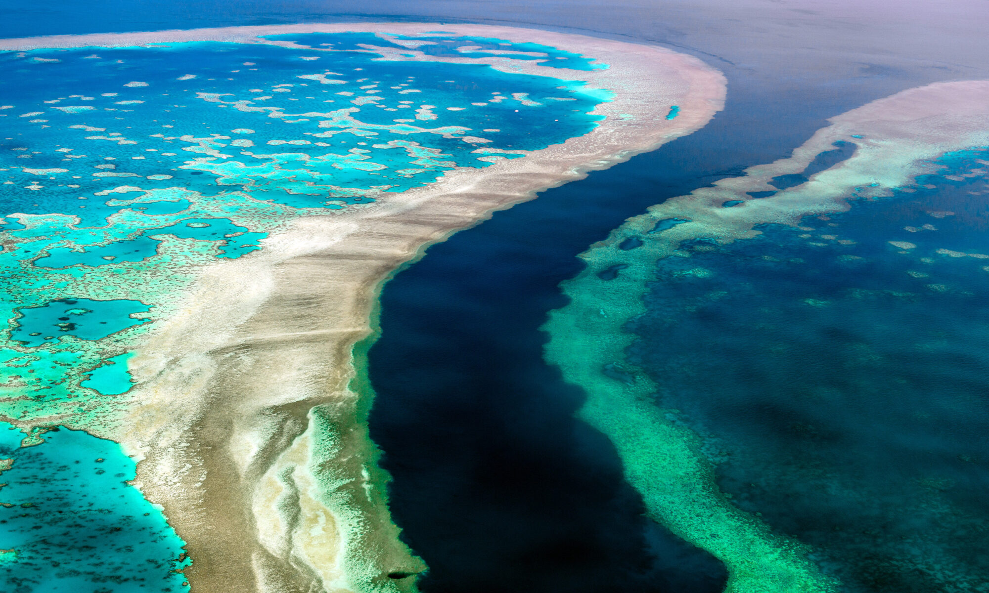
According to the statistics maintained by the International Hydrographic Organization, over 50 percent of the world’s coastal waters have never been surveyed. However, there are many users who require current high-quality bathymetric information for this zone, highlighting the need to fill this data gap.
The Satellite-Derived Bathymetry (SDB) technology helps to address this challenge. Initially established as a reconnaissance tool for shallow water bathymetry only, cutting-edge SDB techniques are increasingly used as a cost-efficient and rapid survey method for acquiring high-resolution bathymetric data down to water depths of 30 meters.
The use of this technology in applications such as safety of navigation, reconnaissance surveys, coastal zone management and hydrodynamic modeling is increasing significantly, and there is therefore a compelling need to discuss current technological capabilities, application requirements and suitable quality standards of SDB data.
To learn more about the International Hydrographic Organization objectives, please read the interview with Dr. Mathias Jonas, Secretary General of the IHO here.


