
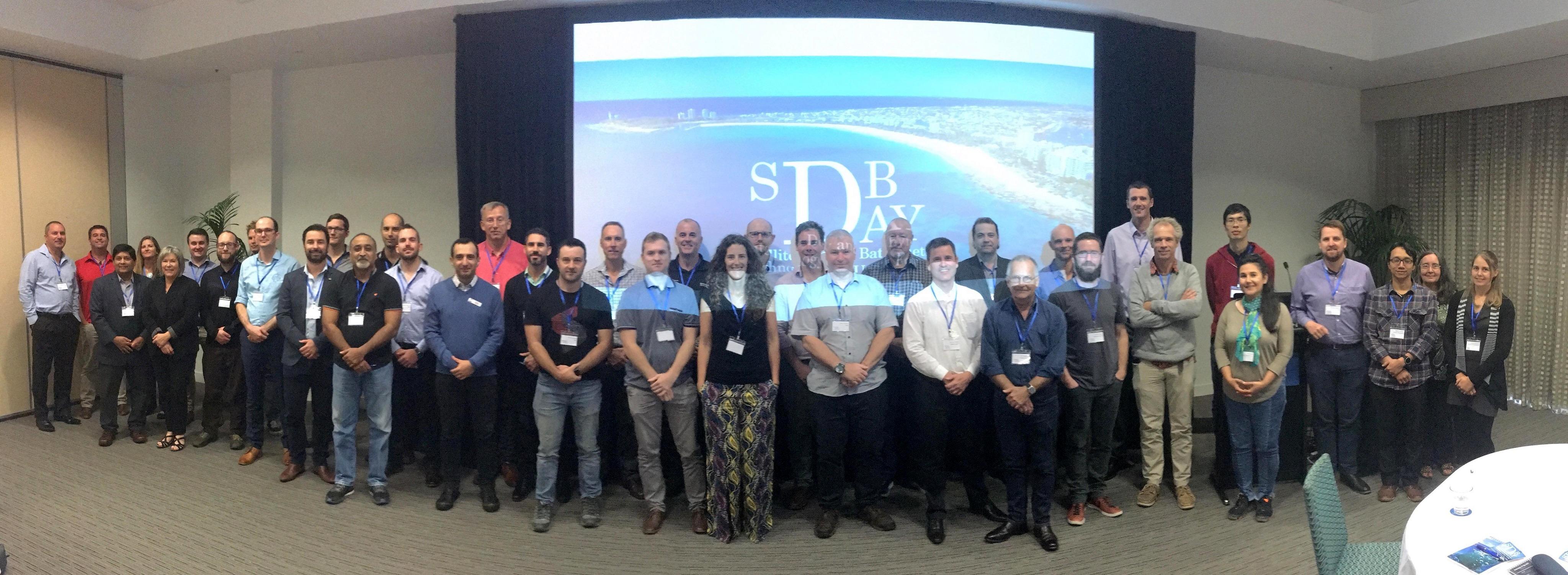
SDB Day 2019 was a big success
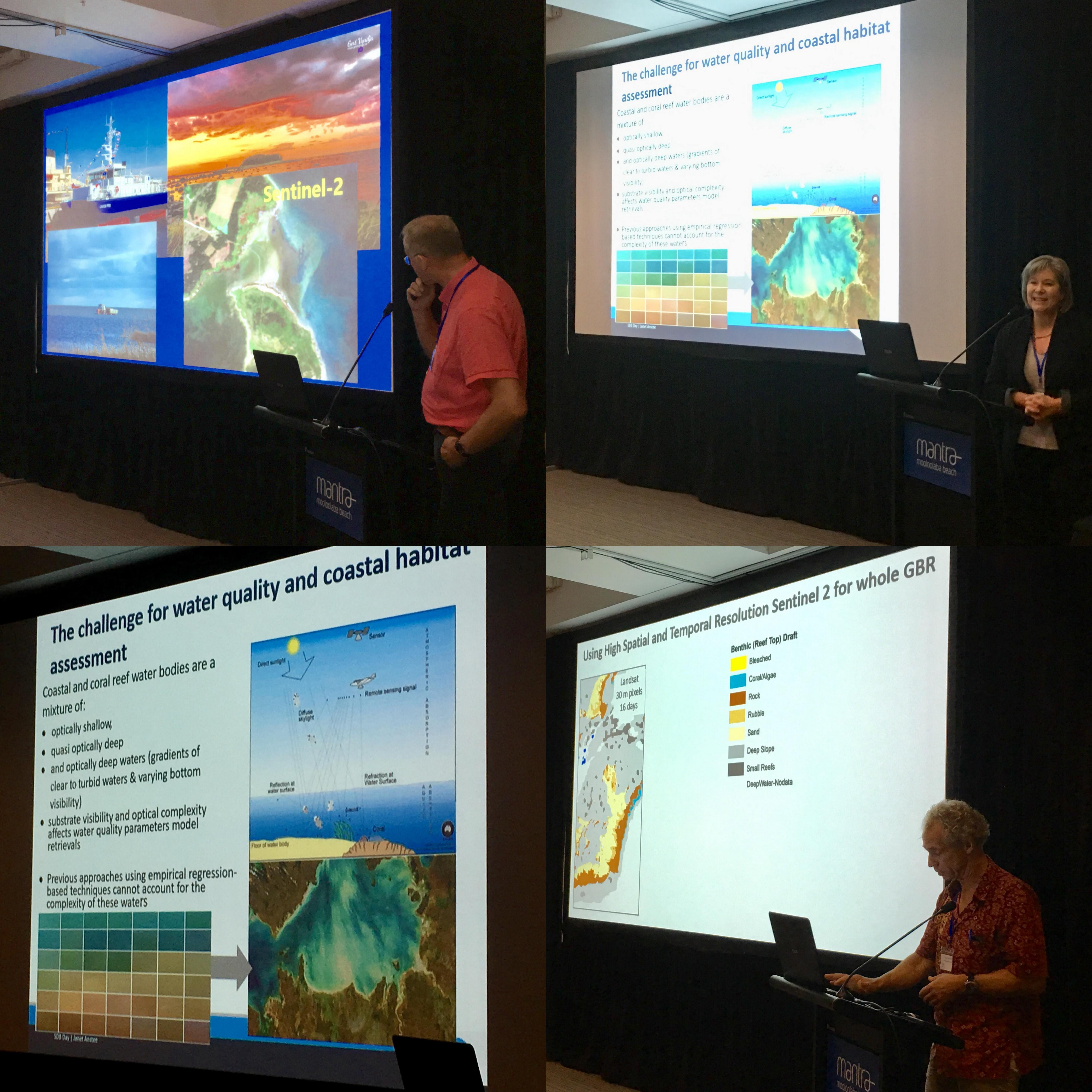
Day 1 included great talks on the rise of SDB, coastal engineering applications, and seafloor mapping projects. During Day 2, amongst many fascinating talks, the Canadian Hydrographic Service (CHS) presented a novel approach to SDB, the Great Barrier Reef habitat mapping project wowed the audience, Geoscience Australia’s intertidal model generated a lot of interest and New Zealand’s NIWA treated everyone to a presentation filled with 3D flythrough eye candy.
Thank you to all our wonderful speakers, attendees and students as well as all the sponsors for the great support. We look forward to inviting you to SDB Day 2020.
Some of the take home messages from the conference are:
- There is a continuously increasing uptake of calibration-independent SDB in industry and hydrographic applications.
- The presentations showcased a range of fit-for-purpose roles for SDB, from planning and reconnaisance through to charting and change detection.
- There is a growing requirement for bringing knowledge and quantitative methods on SDB quality assessment methods into guidelines for hydrographic offices and other users.
- There was a considerable level of interest for the planned SDB training and certification courses to be held at EOMAP headquarters in Germany, in October 2019.
Sponsors & Partners 2019


Speakers 2019
In order to access the speaker’s presentation, please click on the image.


SDB Day 2019 Agenda
Tuesday, 14th May 2019
SDB Conference


![]()


13:30 | Registration
Catered for at Mantra Mooloolaba Beach
14:00 | Welcome
EOMAP Germany & EOMAP Australia
14:15 | Session 1 – The Big Picture
David Donohue
iXblue, Managing Director
Keynote | The Use of SDB in a Multi-Sensor Approach to Survey in the SW Pacific
Dr. Magnus Wettle
EOMAP Australia, Managing Director
The Rise of Satellite-Derived Bathymetry
15:15 | Break
Catered for at Mantra Mooloolaba Beach
15:45 | Session 2 – Commercial Applications
Shahab Hosseini
GHD, Technical Director
Using of Satellite-Derived Bathymetry and Seabed Data in Coastal Modelling
Heiko Loehr
Bluecoast Consulting Engineers
Monitoring Coastal Change from Space – a Case Study of Applied SDB in Australia
Abhineet Jain
DigitalGlobe, Regional Director
Satellite Technologies for Sustainable Blue Economy
16:45 | Discussion and Wrap Up
17:00 | End of Day 1
17:30 | Conference Reception
Sponsored by DigitalGlobe at Mantra Mooloolaba Beach
Wednesday, 15th May 2019
SDB Conference


![]()


![]()


![]()


![]()
![]()
08:30 | Morning Coffee & Registration
Mantra Mooloolaba Beach
09:00 | Session 3 – National and Regional Initiatives
Kim Picard
Geoscience Australia, Marine Geoscientist
Keynote | AusSeabed: Collaborating to Maximise Australia’s Seabed Mapping Efforts
Maria Zenn
Queensland Government, Senior Program Manager
Using SDB and Seafloor Reflectance Data for Attribute-based Benthic Ecosystem Mapping in Central Queensland
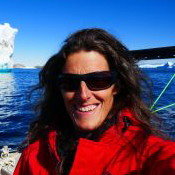
Dr. Chris Roelfsema
UQ, Co-Director of Remote Sensing Research Centre
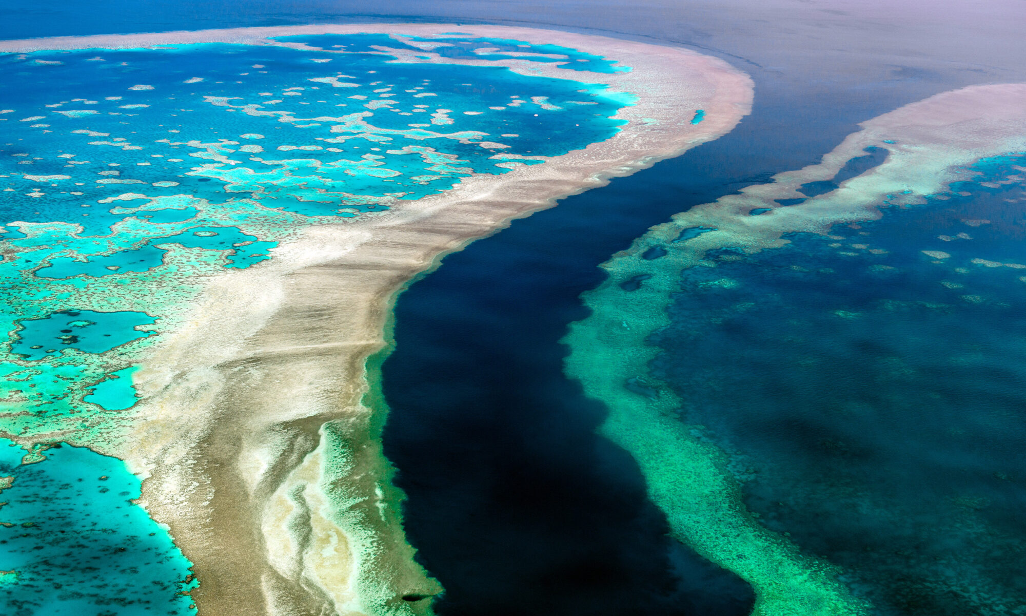
SDB a Key Parameter to Create Detailed Habitat Maps for the Great Barrier Reef
10:15 | Discussion
10:30 | Coffee Break
Catered for at Mantra Mooloolaba Beach
11:00 | Session 4 – Methods and Approaches
Janet Anstee
CSIRO, Senior Experimental Scientist
Aquatic Remote Sensing Habitat and Bathymetry Mapping
Dr. Tiit Kutser
University of Tartu, Head of Remote Sensing and Marine Optic Department
Remote Sensing Bathymetry in Optically Complex Waters
René Chénier
Canadian Hydrographic Office, Marine Geologist
CHS Level of Confidence Approach for SDB
12:15 | Discussion
12:30 | Lunch
Catered for at Mantra Mooloolaba Beach
13:30 | Session 5 – Comparisons, Accuracies and Uncertainties
Dr. Conor Jones
BMT Eastern Australia, Principal Marine Scientist
Use of Staellite-Derived Bathymetry in a Tropical Turib Environment
Dr. Elizabeth Johnstone
iXblue, Marine Geologist
to be announced
Dr. Thomas Heege
EOMAP Germany, CEO
Transparency and Quality Assurance Procedures in Physics Based SDB Production
14:45 | Discussion
15:00 | Coffee Break
Catered for at Mantra Mooloolaba Beach
15:30 | Session 6 – Outside the Box
Dr. Stephen Sagar
Geoscience Australia, Researcher
Between the Tides: Modelling the Elevation of Australia’s Intertidal Zone
Kevin Mackay
NIWA, Marine Database Manager
The Use of SDB in the Planning and Delivery of a Combined Science
16:30 | Discussion
16:45 | General Discussion and Wrap Up
17:00 | End of Conference
18:30 | Conference Dinner
Pier 33, Mooloolaba Beach
Thursday, 16th May 2019
Hydrographic Agencies & Defence Workshop
(Invitation only)

08:30 | Welcome Coffee
Catered for at Mantra Mooloolaba Beach
Workshop
Invitation only
13:00 | Lunch
Catered for at Mantra Mooloolaba Beach